Introduction to Photogrammetric -Surveying
The Photogrammetry is a surveying and mapping technique which has several applications in the Transportation Department. The practice of Photogrammetry Applications in Surveying and includes sites planning, topographic mapping, earthwork volume estimation for proposed roads, a collection of digital elevation models (DEM), and image-based mapping.
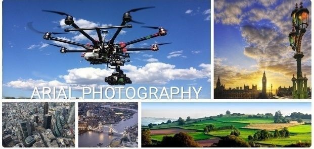
Aerial surveying are the most widely used emerging construction technology. They can conduct site surveys more quickly and accurately than a crew on the ground and are cheaper than aerial imaging. Their high-resolution cameras and the data collected can create interactive 3D or topographical maps and models and take volume measurements.
Benefits of Photogrammetric
Here are few Benefits of photogrammetry over standard surveying and mapping methods are as follows:
- While capturing the Aerial photographs, photogrammetry produces an actual & permanent photographic record of a particular condition that exists while capturing images. Since the record has metric properties, it’s not only a pictorial record, but also it is an accurate, measured record.
- For information that has to be re-surveyed or re-evaluated, there is no need to perform any expensive fieldwork. The same images we can measure again and can get new information in a very convenient manner. We can quickly remedy the missing information, such as inadequate offsets for cross-sections.
- It provides a wide mapped area so other line studies can perform with the corresponding data source more efficiently than other traditional methods. Photogrammetry presents a broad view of the project field, by classifying both topographic and cultural features.
- It is useful in any locations that are difficult, unsafe, or impossible to access. Photogrammetry is an ideal surveying method for toxic areas where fieldwork may negotiate the safety of the surveying crew.
- A remarkable benefit of photogrammetry is that the road surveys can work without disturbing the traffic by closing lanes, or endanger the field team. Once it captures the roads the analysis of road features, including elevation data, we can do it in the office, not in the actual field.
- Another benefit of using drones is the ability to inspect hard to reach places such as bridges or around tall buildings, and to do it safely. You can also use them to monitor progress on a job site and see how people are working.
Syllabus-
Module1. Terms Used in Aerial Photography
- Exposure station
- Crab
- Drift
- Tilt
- Principal point
- Nadir point
- Altitude
- Scale
- Focal length
- Relief displacement
Module 2. Procedure of Aerial Photography
- Establishing control points
- Flight planning and photography
- Photo interpretation and stereoscopy
- Parallax and measurement of parallax
- Construction of map and cartography
Module3. Flight Planning and Photography
- Area to be surveyed
- Focal length of camera
- Overlap
- Scale of photograph
- Ground Speed of aircraft in still air
- Altitude of Aircraft
- Area covered by one photograph
- Number of photographs required
Module4. Photo Interpretation and Stereoscopy
- Shape
- Size
- Pattern
- Shadow
- Texture
- Site
Module5. Parallax and Measurement of Parallax
Module6. Construction of Map
- Radial line method
- Slotted template method
- Stereoscopic method